The Central Region was carved out as a separate regional entity just before the 1970 Population Census (GSS, 2010) from the Western Region. It is the third smallest in area after Greater Accra and Upper East. It shares common boundaries with Western Region on the west, Ashanti and Eastern Regions on the north, and Greater Accra Region on the east. On the south is the 168-kilometre length Atlantic Ocean (Gulf of Guinea) coastline.
The political administration of the region is through the Local Government System. Under this administration system, the region is divided into 21 Metropolitan, Municipal and District Assemblies (MMDAs) (made up of 1 Metropolitan, 7 Municipal and 13 Ordinary Assemblies).
The NRSA will set up District Road Safety Committees at these levels to provide for road safety related services.
The National highway 1 (N1) and the National highway 8 (N8) pass through the region. National highways are class of roads and highways that form the trunk routes between major urban centres.
The blackspots on the N1 include:
- Nyanyano Junction
- Bawjiase
- Timber Market
- Kasoa
- Akotsi Junction
- Senya Brenya Junction
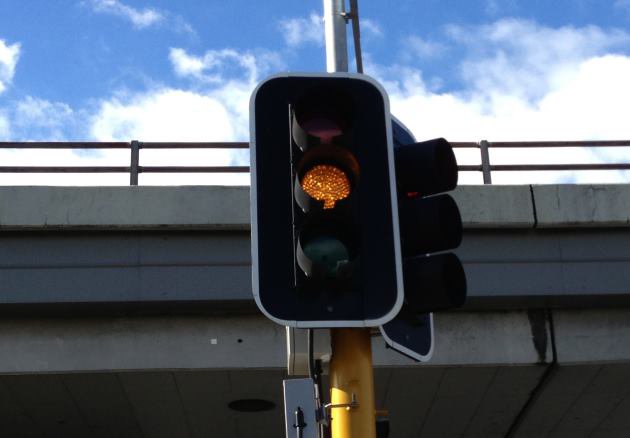
- Traffic Light
- Abura Junction
- Kasoa Brigade
- Moree - Mankoadze Junction
- Gomoa
- Onyadze
- Gomoa Abrekum Junction
- Simbrofo Junction
- Awutu Breku
- Ankoanda Junction
- Atabaadze
- Abrem Agona Junction
- Residency Junction
- Elmina
The blackspots on the N8 include:
- Assin Fosu
- Assin Asempanaye
- Railway Overhead